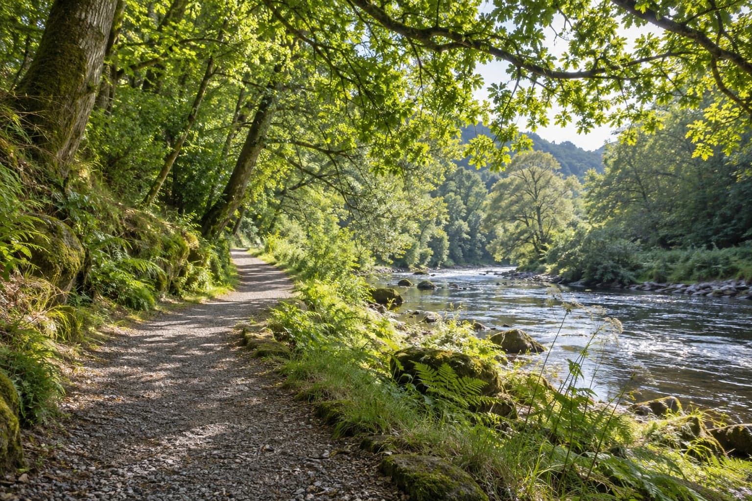
 A different way home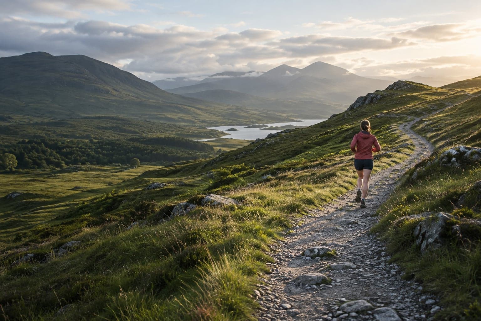
A little further. A little different.
Your next run.
A new way there.
Describe your run or walk.
Stricca plans the route.
Start with a sentence
“5 km, quiet paths,
somewhere by the river.”
5 kmQuietRiverside
For the everyday run. And the scenic detour.
01
Say what you fancy.
A distance, a destination, a change of scenery.
02
Find your route.
Preview the paths, distance and hills.
03
Make it your own.
Head out, record your run, keep the moments.
More than the usual loop
Go out. Get more from it.
A different way home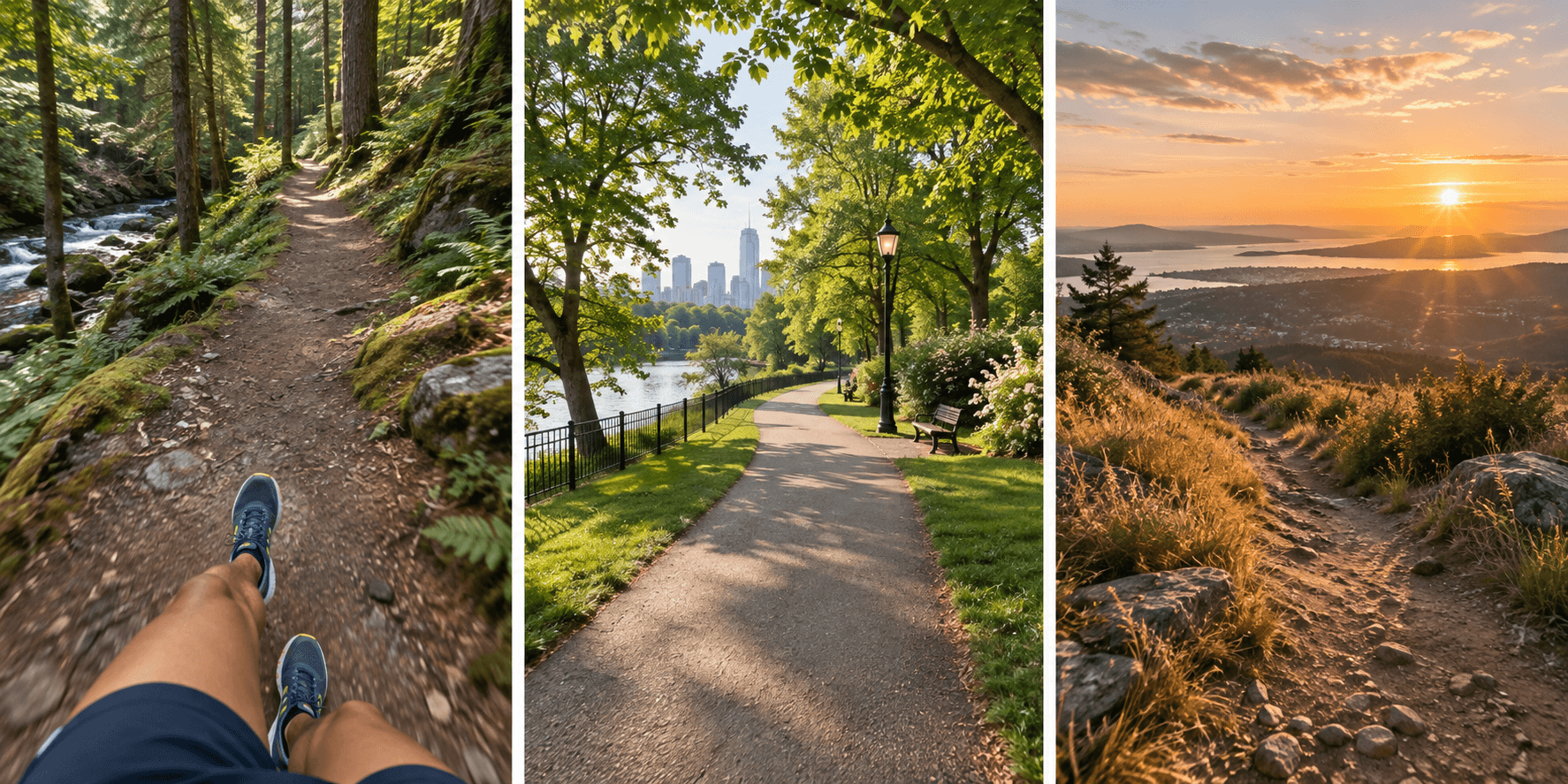 Worth stopping for
Keep the good bits.
Your routes, photos and progress. A little more of your world, every run.
Start your next chapterYour route. Ready to go.
Download a GPX for your watch or favourite running app.
See where a sentence takes you